This Bread Loaf-Sized Satellite Might Find the Next Earth
via This Bread Loaf-Sized Satellite Might Find the Next Earth.
This Bread Loaf-Sized Satellite Might Find the Next Earth
via This Bread Loaf-Sized Satellite Might Find the Next Earth.
In a response to our post on the recent gorse fires, Daniel Mcinerney directs us to the European Forest Fire Information System – Based on Modis Imagery, weather data and load models it provides daily risk maps, identifies current and past hot spots and maps of burnt areas. A quick grab shows the burnt areas for the last 30 days.

Space Junk Threat to Triple by 2030 | Space Junk & Orbital Debris | Space Debris Problem, Satellites & Spacecraft | Space.com
Esri Introduces Landsat Data for the World | ArcNews Online
via Esri Introduces Landsat Data for the World | ArcNews Online.
The Little-Known Agency That Helped Kill Bin Laden – Marc Ambinder – Politics – The Atlantic
via The Little-Known Agency That Helped Kill Bin Laden – Marc Ambinder – Politics – The Atlantic.
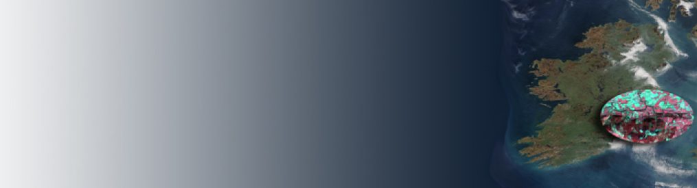
High Resolution Satellite Image Of Irish Gorse Fires – Irish Weather Online
via High Resolution Satellite Image Of Irish Gorse Fires – Irish Weather Online.
